News Story
COVID-19: Researchers Use Location Data to Gauge Impact
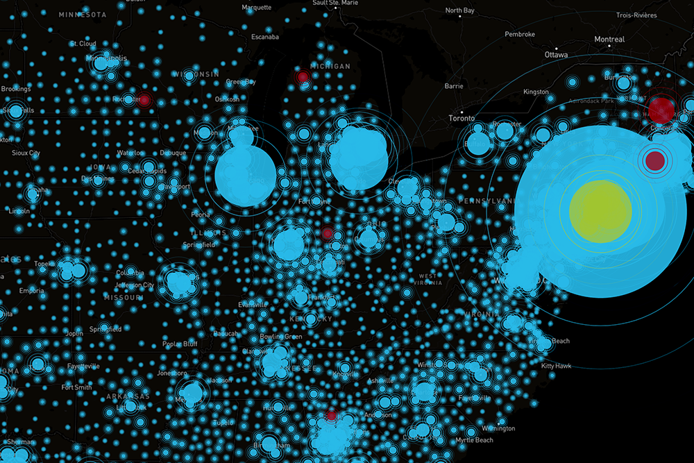
With the outbreak of COVID-19, many Americans—like people in other countries around the globe—found themselves adjusting to sudden, dramatic changes to their ways of life. Many of those changes are reflected in data gathered by mobile phones and other devices.
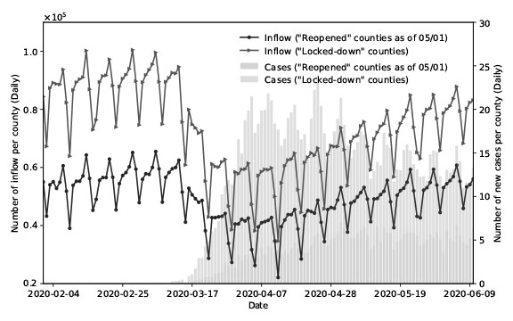
With National Science Foundation support, a team of UMD researchers is harvesting and analyzing such data, with the aim of obtaining a clearer picture of how the pandemic—and measures taken to contain it—impacts mobility.
“Catastrophic as this pandemic has been, it also offers an opportunity for researchers to gain data-driven insights that can be used in emergency response planning—not only during the current public health emergency, but in other situations, such as natural disasters,” said UMD geographical sciences professor Kathleen Stewart, who is collaborating on the project with two colleagues, civil and environmental engineering professor Deb Niemeier and Junchuan Fan, an assistant research professor in the geographical sciences department.
Stewart heads up the Center for Geospatial Information Science (CGIS), a UMD-based think tank that specializes in using advanced computing technologies and data analysis tools to study location-based phenomena. CGIS is an affiliate of the Maryland Transportation Institute, an interdisciplinary research hub based at UMD’s civil and environmental engineering department, part of the A. James Clark School of Engineering.
“Our research will be looking at ways to quantitatively measure changes in collective movement behaviors in response to COVID-19, using passively collected location data."—Dr. Kathleen Stewart, CGIS Director
“Our research will be looking at ways to quantitatively measure changes in collective movement behaviors in response to COVID-19, using passively collected location data,” Stewart said. “We’re interested in how locations within a state respond during different levels of policy implementation and at times of critical public messaging, and what important new methods and indicators are needed that will help to identify patterns of movement and travel in this and similar situations.”
Drawing from near-real-time data collected through the use of location-based apps, the team will develop algorithms that can be used to identify how mobility patterns have evolved throughout the course of the pandemic. The algorithms will be scalable, allowing for detection of mobility patterns at various levels, from local to national.
While a pandemic is a rare event, many other types of hazard occur more frequently, from severe flooding to wildfires, notes co-PI Niemeier, who is Clark Distinguished Chair at UMD and has conducted groundbreaking research into the factors that exacerbated the 2018 Camp Fire in Paradise, CA. Results from the study will be applicable to many different kinds of hazards, she said.
“No one wants a situation to occur like the one we’re currently facing,” Niemeier said. “It’s important that we learn what we can from it, using the best tools that we have available. That way we’ll be better prepared to address future challenges when they arise.”
Published April 15, 2020
