News Story
Mobile Device Data Could Boost Road Safety for Pedestrians

Vehicles and pedestrians can be a deadly combination: out of 530 fatal traffic accidents in the state of Maryland during 2019, nearly a quarter (23.3%) involved people being struck and killed. As transportation agencies and policymakers strive to rein in the fatalities, they face a hurdle: adequate data is not available for many intersections and road segments, particularly outside of major urban areas. Obtaining the needed information is a slow, cumbersome, and costly process, typically requiring personnel to visit the locations of interest and conduct a tally.
With the advent of mobile devices, better methods are now conceivable. With funding from the US Department of Transportation (USDOT) and Maryland Department of Transportation State Highway Administration (MDOT SHA), University of Maryland (UMD) professor Chenfeng Xiong is leading a project that uses location-based data from mobile devices to glean insights into the hazards at particular intersections or road segments.
The approach, harnessing the capabilities of UMD’s Maryland Transportation Institute (MTI) could yield far greater accuracy and compared to current methods, and is also much more efficient, Xiong said.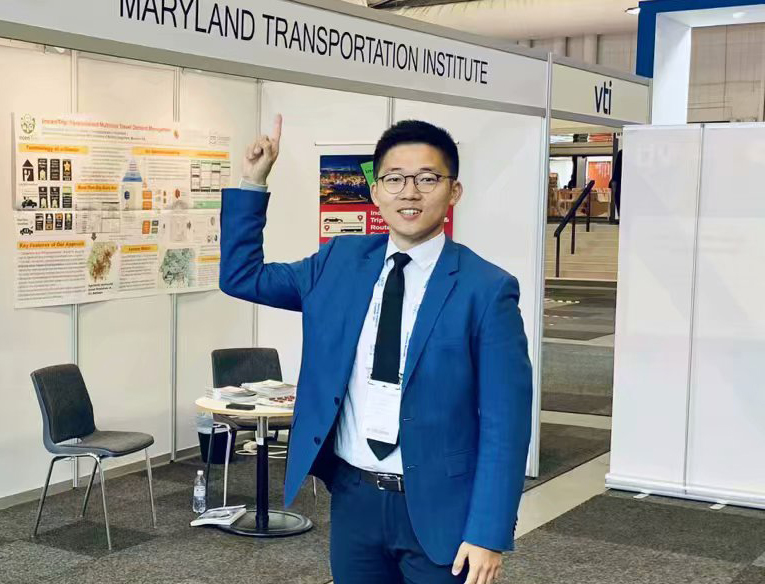 “Typically, in order to understand the volume of pedestrian and bicycle activities, we have to rely on very tedious manual or automatic counting stations,” he explained. “Those gathering the data have to go to different critical intersections or segments and count how many people are crossing the street or walking.”
“It’s an old-fashioned, time-consuming, and costly process—and can also be dangerous for the data-gatherers,” he said. “Furthermore, it only allows us to gather a limited amount of data on intersections or segments.”
“With our algorithms and the data analytics strength we have accumulated at MTI, we can use the mobile device data to calculate pedestrian-bicycle volumes at a very fine grain of temporal definition. We’ll also be able to cover all areas of Maryland, whereas right now there are gaps—for instance, in some rural or suburban areas.”
Chenfeng Xiong, assistant director of transportation modeling research, Maryland Transportation Institute
As an alternative, Xiong plans to collect massive volumes of mobility data from mobile device apps, then feed this information to algorithms developed at MTI. The results are expected to be far more precise—and less costly—than those achievable through the manual approach.
“With our algorithms and the data analytics strength we have accumulated at MTI, we can use the mobile device data to calculate pedestrian-bicycle volumes at a very fine grain of temporal definition. We’ll also be able to cover all areas of Maryland, whereas right now there are gaps—for instance, in some rural or suburban areas.”
With improved data availability, decision makers will have a sounder basis for developing policies aimed at making roadways safer for all who use them.
“On average, we’re losing more than 100 people a year to crashes involving pedestrians and bicyclists,” Xiong said. “That’s a huge loss to society. We believe our tools and methods can help Maryland state agencies in determining where the problems are and better allocating resources to reduce fatalities and achieve the goal of zero deaths.”
Published October 27, 2020
Recent Stories
Stories / Feb 24, 2026
Search Open for Faculty in Water Resources Engineering

Stories / Jun 24, 2026
Dean Graham Reappointed to Second Five-Year Term

Stories / Jun 16, 2026
Davis Delivers 2026 Freese Lecture at ASCE EWRI Congress

Stories / Jun 1, 2026
Sackor: Infrastructure Has Human Impact

Stories / May 27, 2026
Finding the Flow: The Senior Capstone Journey

Stories / May 27, 2026
UMD Students Impress in ASCE Sustainable Solutions Competition

Stories / May 4, 2026
Aydilek Named Distinguished Scholar-Teacher

Stories / Apr 21, 2026
Niemeier Featured as CHR Marks Anniversary

Stories / Apr 20, 2026
Quantum Machine Learning: UMD Partners With Researchers in Japan

Stories / Apr 14, 2026
UMD Research Sheds Light on Palisades Fire Pileups
